Location
75 minutes from Accra
On the Atlantic coast at Gomoa Fetteh, in the Central Region, between the fishing town of Nyanyano and Gomoa Fetteh town. West of Accra on the N1, then down to the sea.
Where exactly
On the coast, west of Accra
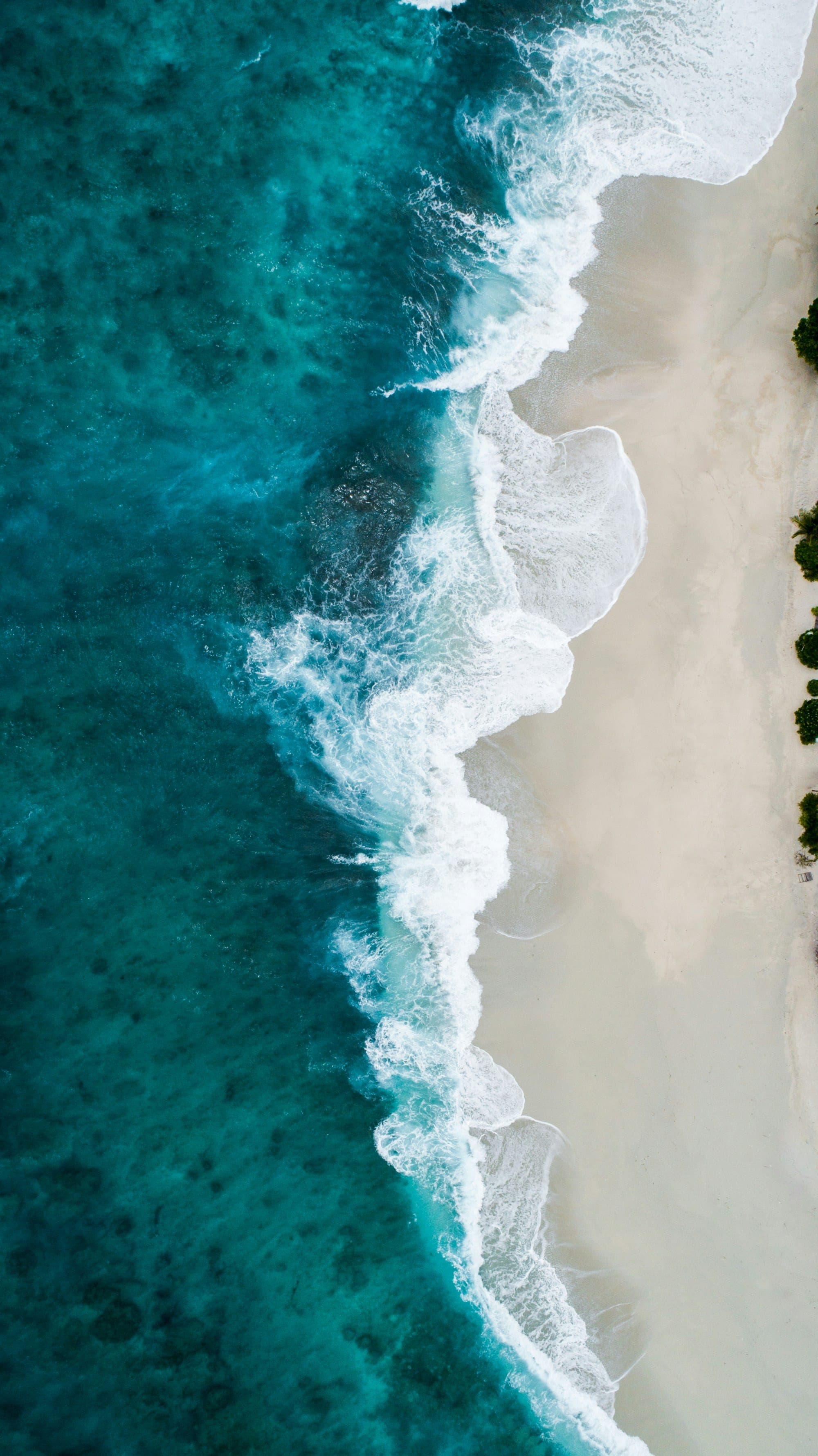
The site runs along the Atlantic with the lagoon inlet on its eastern side and the Gomoa Fetteh to Nyanyano road behind it.
- Town
- Gomoa Fetteh, Gomoa East District
- Region
- Central Region, Ghana
- Coordinates
- 5.4475° N, 0.4470° W
- Ocean frontage
- 1.2 miles of Atlantic coast
- Lagoon shoreline
- About 1 mile
Drive times
Close enough for the weekend
Road distances and times from the middle of the site without traffic, from OpenStreetMap routing. Allow longer on the N1 at busy times.
From Kotoka International Airport it is about 46 km, so diaspora buyers can land in the morning and walk the site the same day.
- Nyanyano6 km15 min
- Gomoa Fetteh town6 km15 min
- Kasoa12 km26 min
- Winneba29 km51 min
- Accra city centre39 km58 min
- Kotoka International Airport46 km1 h 2 min
- Cape Coast144 km2 h 40 min
The drive
From the city to the sea
Accra
Leave the city west on the N1 towards Cape Coast
Kasoa
About 12 km before the site, the last big town on the N1
Nyanyano
Turn south off the N1 for the coast road
Enclave
On the Gomoa Fetteh to Nyanyano road, between the road and the sea
The main entrance will come from the Dawa Lagoon link road over a bridge, with a second entrance from the Gomoa Fetteh to Nyanyano road.

Visit
Walk the land before you choose
Join a guided walk at Gomoa Fetteh, or take a private video tour from wherever you are.